Above the roofline, where it's cleared
Aerial and Drone Photography
A low pass over the property answers what a street level photo cannot: the shape of the lot, what sits behind the fence, how close the water really is. Planned per address, and flown where San Diego's airspace allows it.
Chapter 01
What a drone frame answers that a ground lens cannot
A camera at eye level can only tell a buyer about the house. It cannot show them the shape of the lot, what backs onto the yard on the other side of the fence, or whether the ocean everyone keeps mentioning in the listing copy is three blocks away or eight. A drone frame answers all three in one image, because it is the only vantage point that shows the property the way a map does: sitting inside its actual neighborhood, not cropped out of it.
Drones are taking to the skies of San Diego, and the low altitude views they provide are now within reach of any listing. It is an affordable way to add a high end touch, whether that means a unique angle on the home itself, a frame that places it against the block around it, or a straight rise that reveals a view the buyer would otherwise have to stand on the roof to see. The package most agents start with is 10 Aerial Photos, added alongside whatever HDR set the interiors are getting.
The same flight can also cover video. A two minute aerial tour works as its own clip, and an aerial intro or outro cut into a full walkthrough is usually shot the same visit.
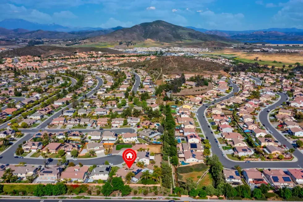
Low altitude drone photograph of a San Diego property set against its coastal neighborhood
When a rise beats a straight shot, and when it does not
Two moves cover almost every aerial job. The first is a straight elevation: the drone climbs to a fixed height, holds level, and takes the frame square on, close to how a floor plan reads when it is tilted up. It suits a compact lot in a dense block, where the story is proximity rather than scenery, and a rising shot would just show more roofs.
The second is the rise and reveal: the drone climbs slowly while the frame tilts down, so the shot opens on the front door and ends looking out at whatever the property is actually selling, a canyon, the coastline, a downtown skyline. It is the more dramatic of the two, and it is the wrong call for a listing without that payoff. Used on a flat interior lot fenced on every side, a reveal just reveals more fence.
Chapter 03
The honest version of San Diego's airspace
San Diego carries a lot of controlled airspace, close to the airport and the Navy's own operations along the coast. That is not a formality. Every flight gets planned around the specific address before the drone leaves the case, and a small number of properties, close enough to an approach path or a restricted zone, cannot be flown at all.
That gets checked before the booking is confirmed, not discovered on the shoot morning. Where a property cannot be flown, the interiors and a twilight exterior carry the listing instead, and that is said plainly rather than left for the agent to find out later.
Flights are checked against San Diego's airspace before anything is booked. Call (619) 844-9392.